Still here · DeKalb County · Dam inventory GA01795
Glen Emerald Lake
From the air
Glen Emerald Lake was drained to a muddy pool in 2022 and 2023 while its dam was rebuilt with a new concrete spillway and riprap, then refilled by October 2023.
- First seen
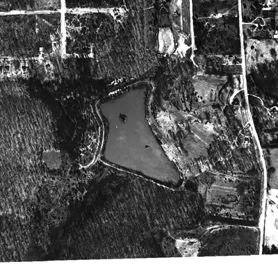
- Already a full lake with an island and a road around its rim in the earliest usable aerial, from 1949.
- Dam in the lidar
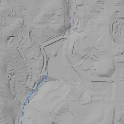
- Earthen dam along the south shore, about 450 to 500 feet long, with a crest near 890 feet above sea level. It is about 31 feet high where it crosses the ravine at the west end, and only 7 to 13 feet high mid-span. No breach. A concrete spillway notch and chute sit at the west end.
- Depth from the lidar
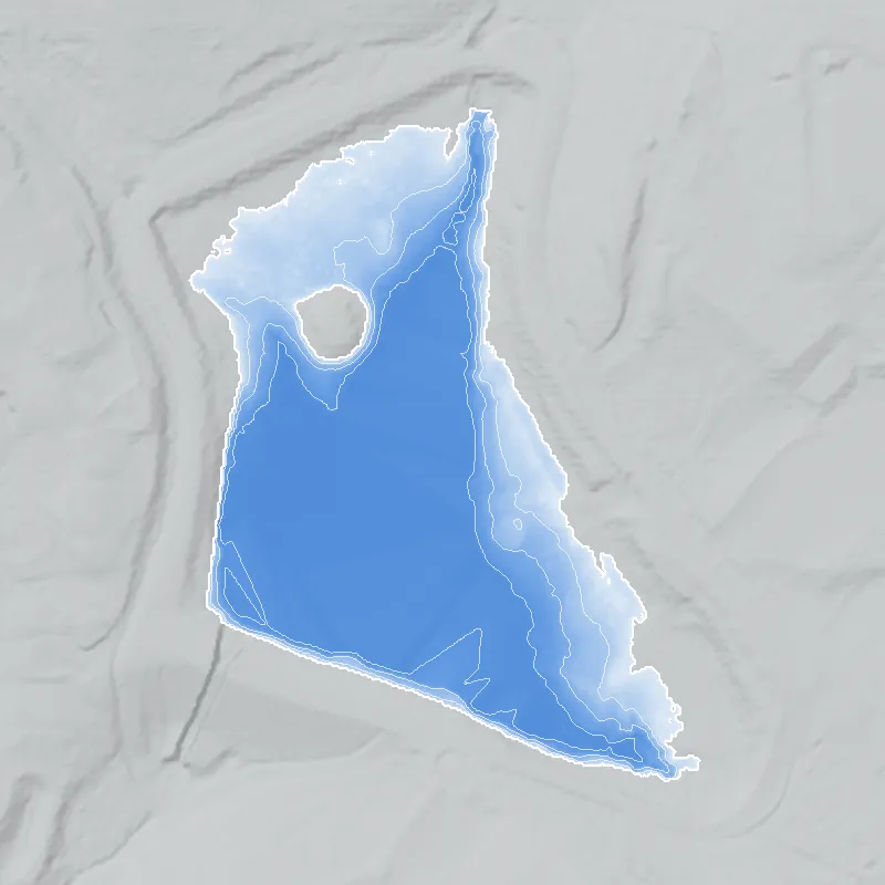
- The county's 2024 lidar caught the lake low. If normal pool is near 881 feet, the lake was at least 6.7 feet deep; plausible pool levels give 4.7 to 8.7 feet. These are minimums, because standing water hid the true bed, and normal pool is uncertain.
Low water and drawdowns
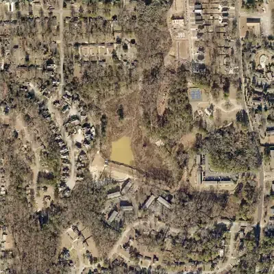
- 2022 aerial: Mostly drained. About 80 percent of the bed was bare mud and marsh plants, with a small muddy pool near the dam. The dam's west end and downstream face were freshly regraded.
- 2023 aerial: Still drawn down, with only 10 to 15 percent of the lake under water. The old bed was brown marsh with dead stumps, and a new concrete chute stood at the dam's west end.
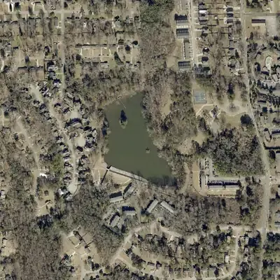
- October 2023: Refilled. The lake looks full and dark in the October 2023 federal aerial, and the dam face shows pale new riprap. Exact drawdown dates are not printed on the images.
Read from aerial photos taken between 1940 and 2026 and from DeKalb County 2024 lidar, then checked by a second reading. How the photos were read.
Depth
Measured from lidar flown while the lake was low: deepest point about 7 ft. How depth is estimated.
The dam
- Year in the inventory
- 1940
- Dam height
- 30 ft
- Surface
- 7 acres
- Average depth
- about 10.3 ft
- Owner type
- Local Government
Figures from the U.S. Army Corps of Engineers’ National Inventory of Dams. Its “year” is often a rebuild or survey date, and average depth is storage divided by area.