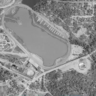
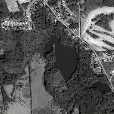
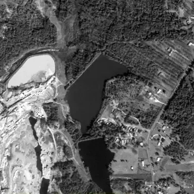
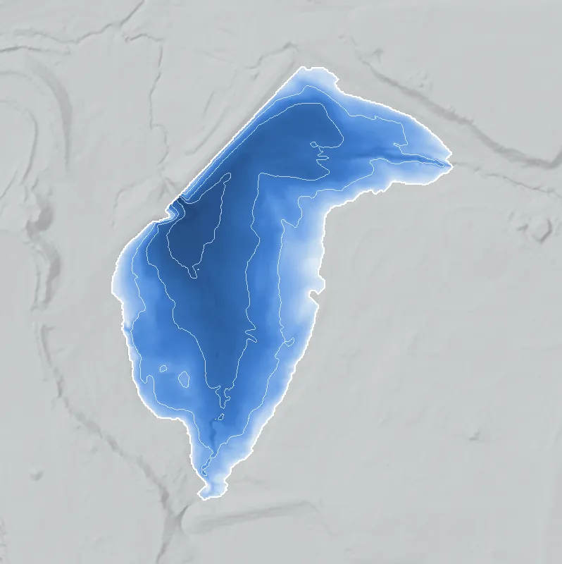
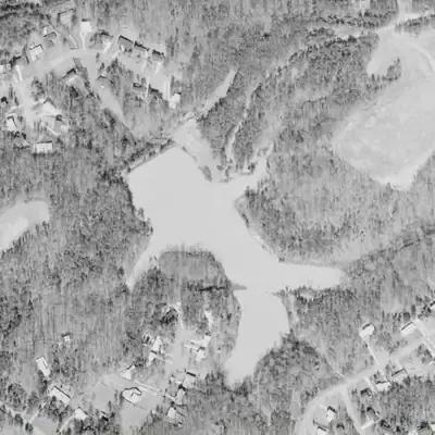
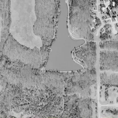
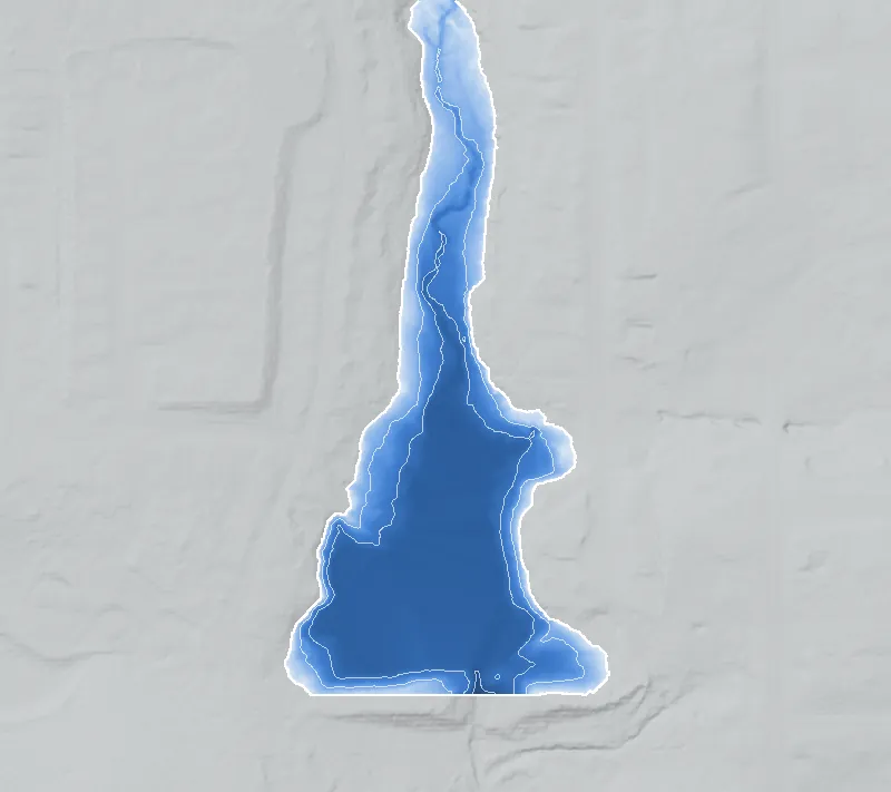
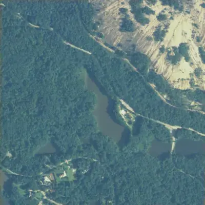
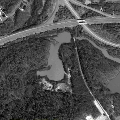
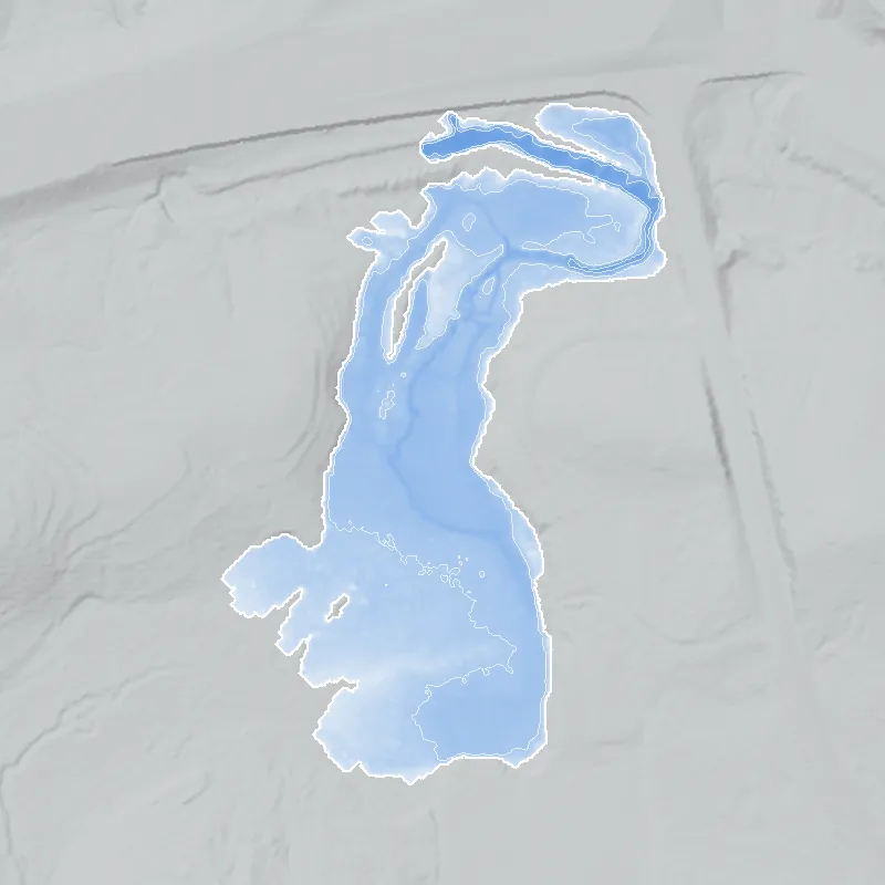
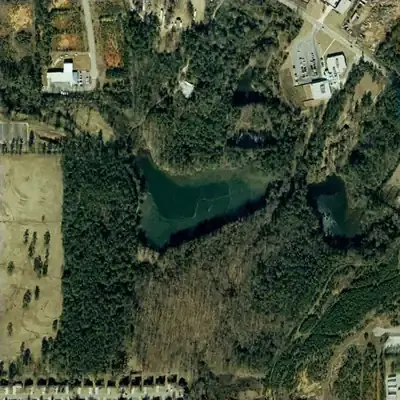
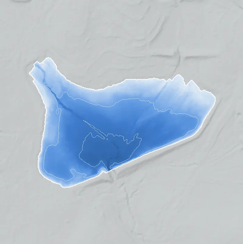
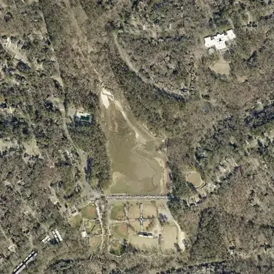
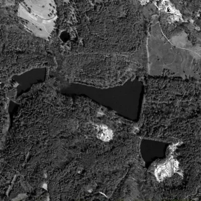
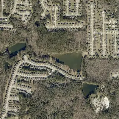
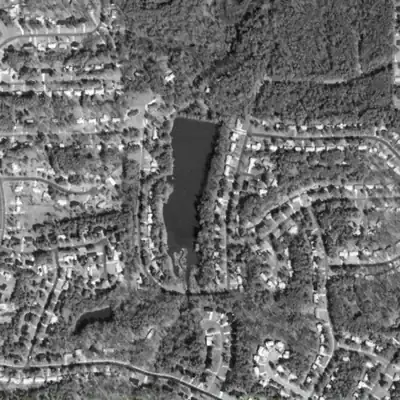
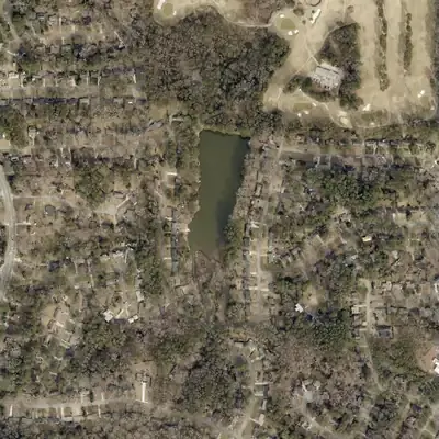
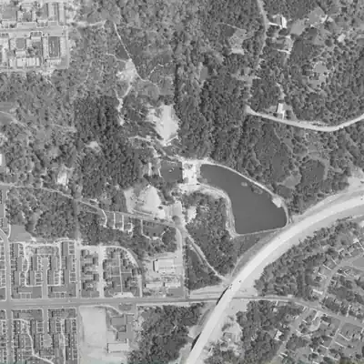
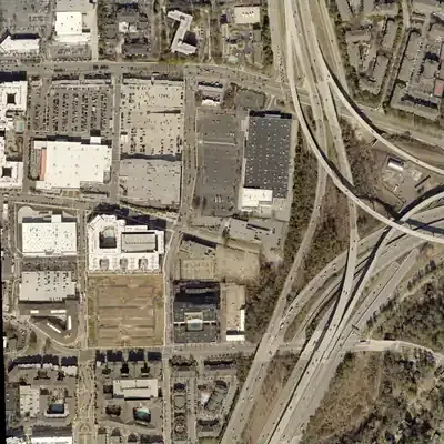
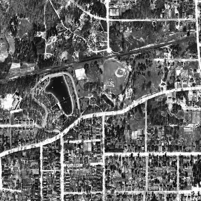
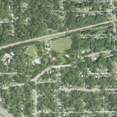
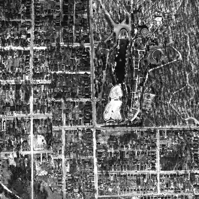
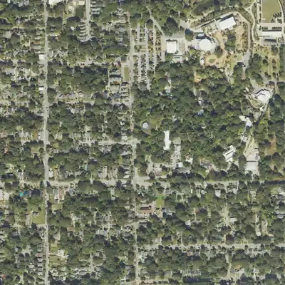
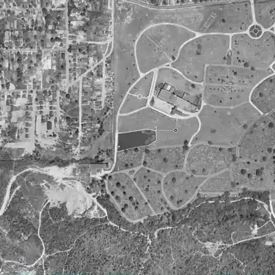
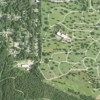
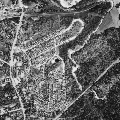
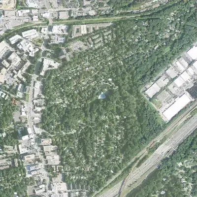
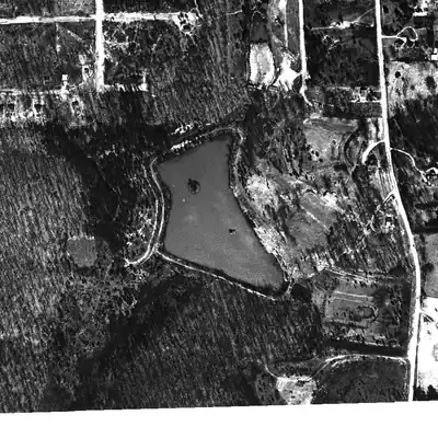
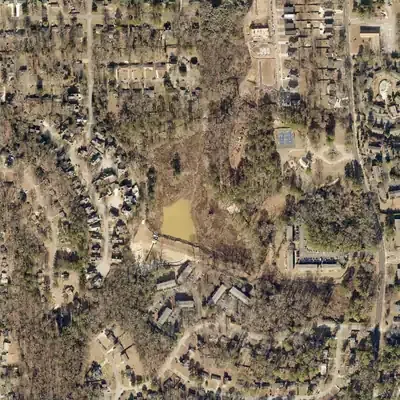
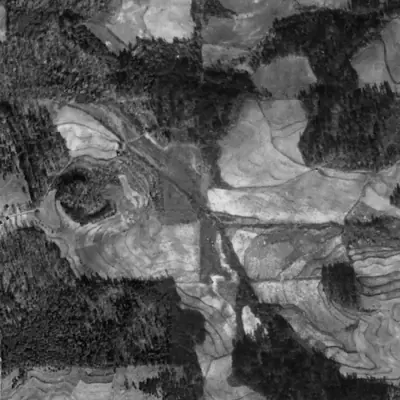
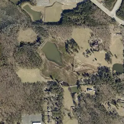
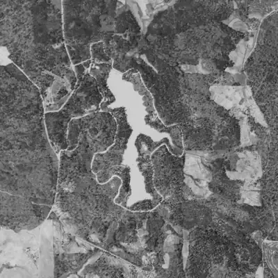
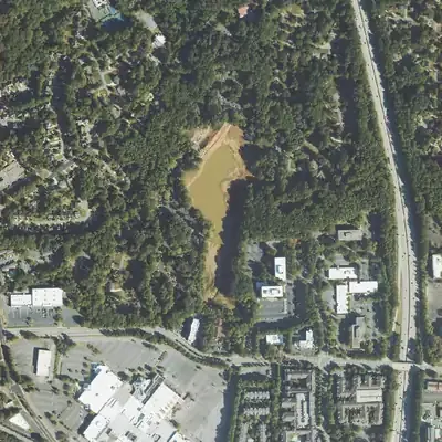
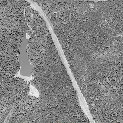
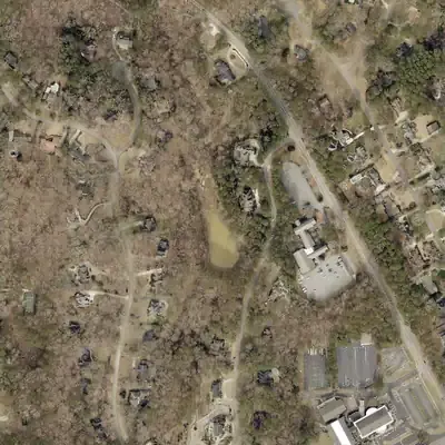
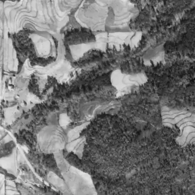
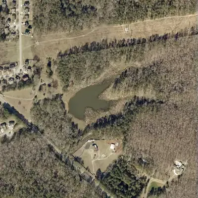
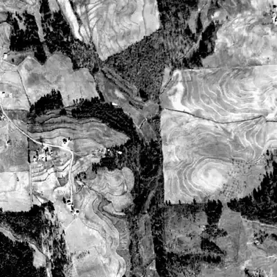
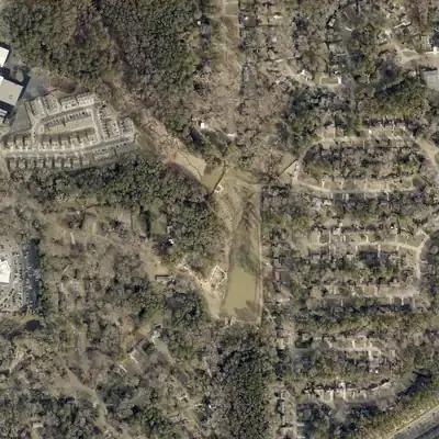
A lake leaves marks long after the water is gone. The dam usually stays in the ground, sometimes with a notch cut through it. The flat old bed still shows in the lidar, the laser-measured shape of the bare earth. And the aerial photos taken over Atlanta since 1940 remember the shoreline.
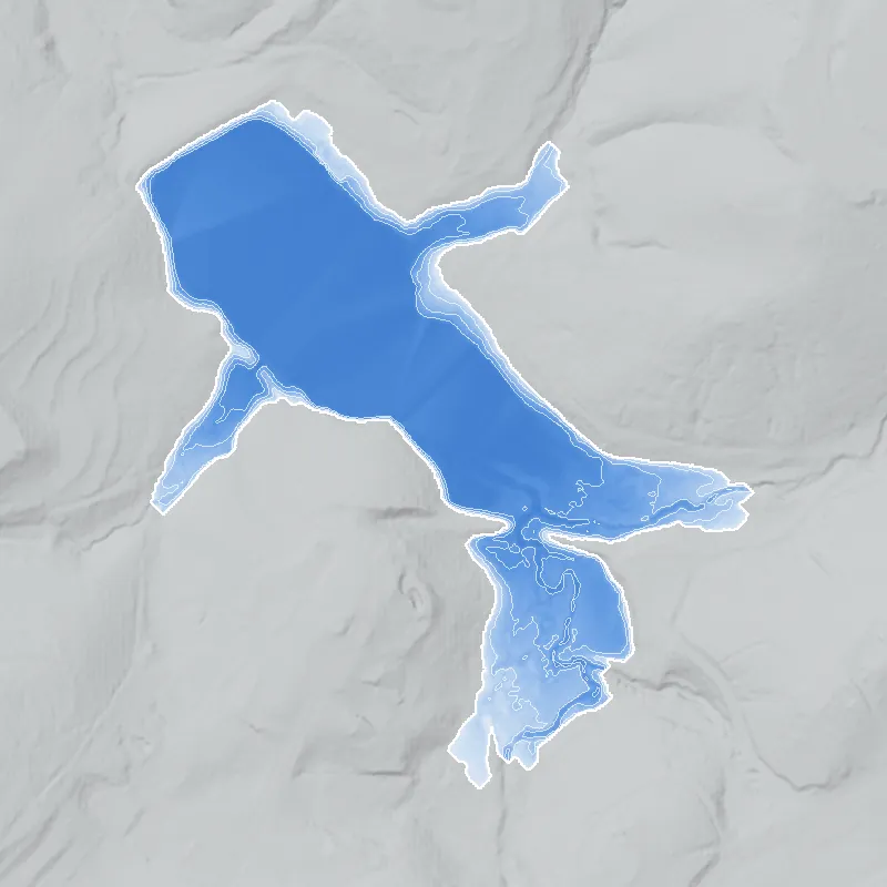
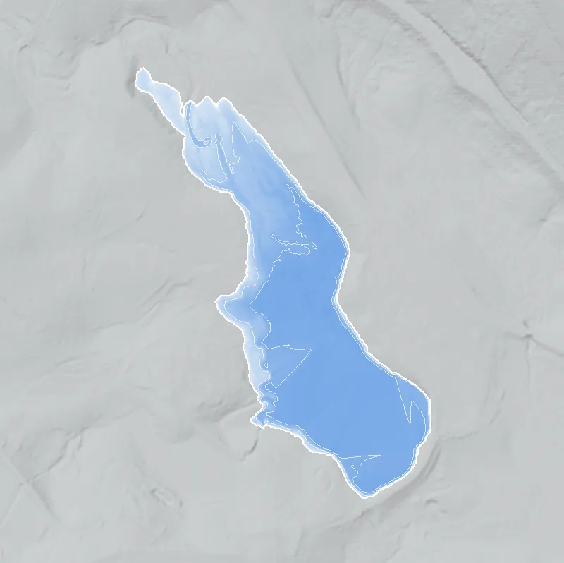
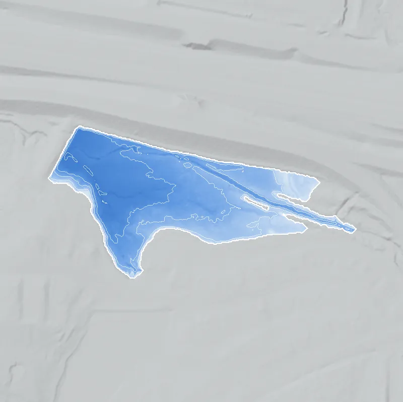
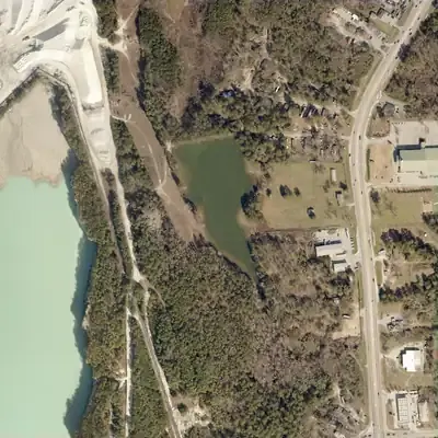
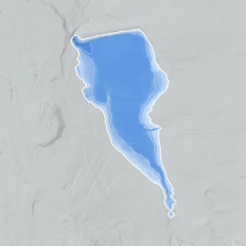
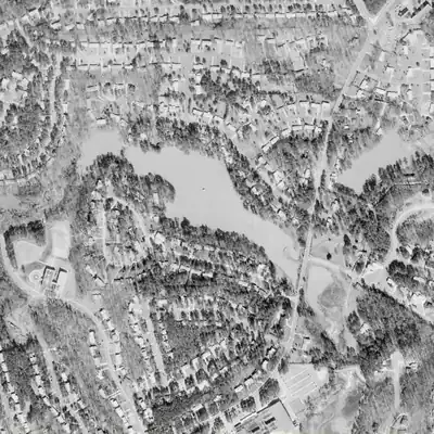
Watermarks puts those lakes back on today's map. Where the bed survives, the water is refilled from the lidar up to the old shoreline, with any broken dam patched. Where the lake was filled or built over, the shoreline is traced from the clearest old photo. Every Watermark is checked against a dated aerial photo and lists its caveats.
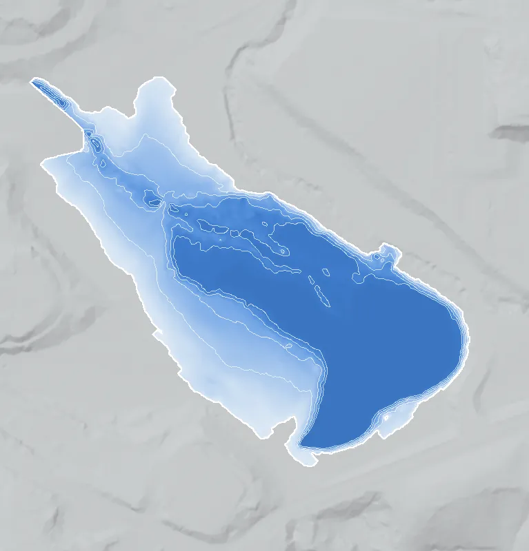
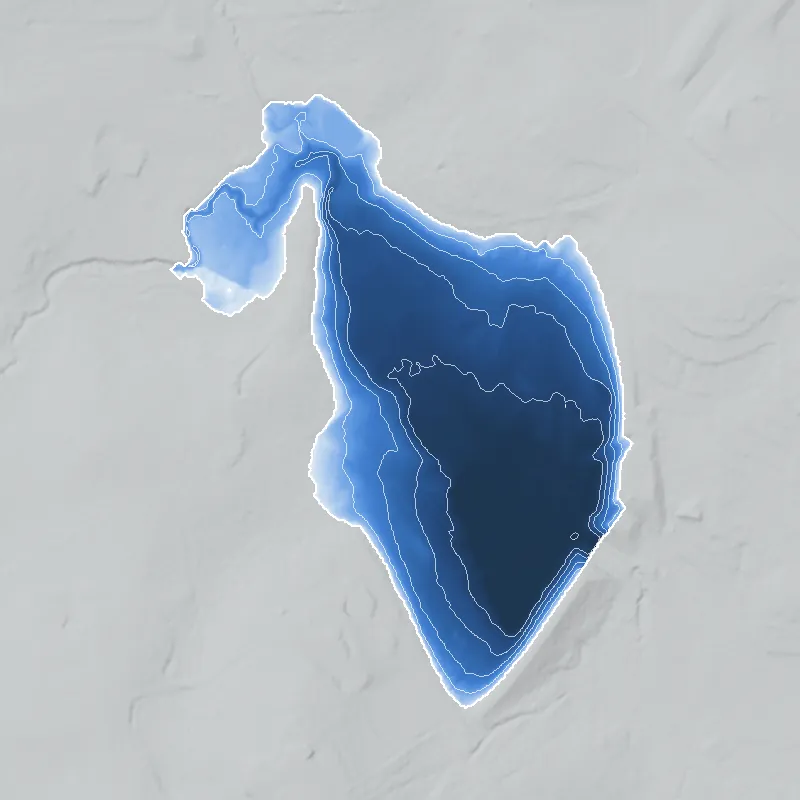
On the map, Fill it back up pours the water in from the bottom, the year slider scrubs through the photos, and the depth view shows how deep it was. The methods explain the details.
Refilled from the lidar 14
The old lakebed is still in the ground. The water goes back in up to the old shoreline, with any broken dam patched.
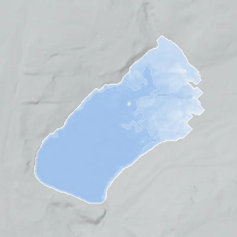
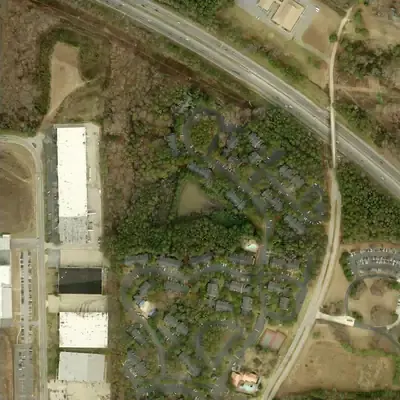
Only the southeast corner still holds water, about 8 acres. The rest of the old lakebed is dry marsh, woods and graded lots for studios and warehouses, several feet above the water.
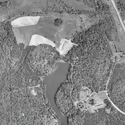
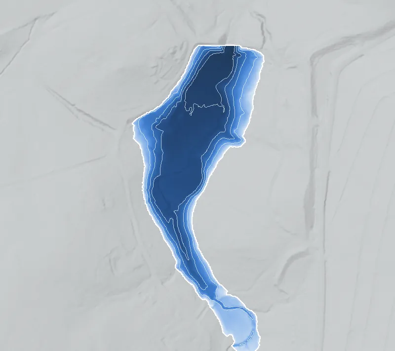
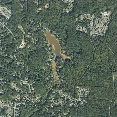
The 38-foot earth dam still stands but has a wide gap in its northeast corner. Pines and shrubs cover the old lakebed, and only a pond of about one acre remains against the dam.
Since about 1981 the lake has held only about 5.6 acres near the dam. The old south and east arms are now wetland and woods. In 2026 the lake was drained for dam work.
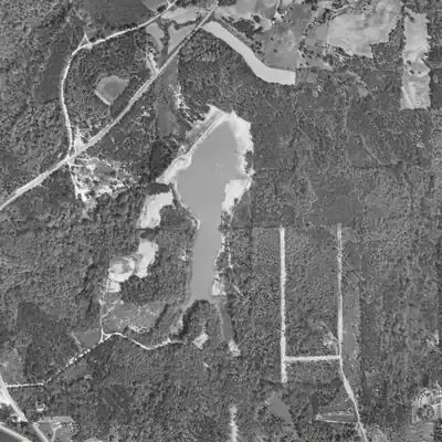
The dam still stands with a V-shaped gap cut through it. The old lakebed is a sandy flat with a small stream, grass and brush, inside a city forest preserve beside a landfill.
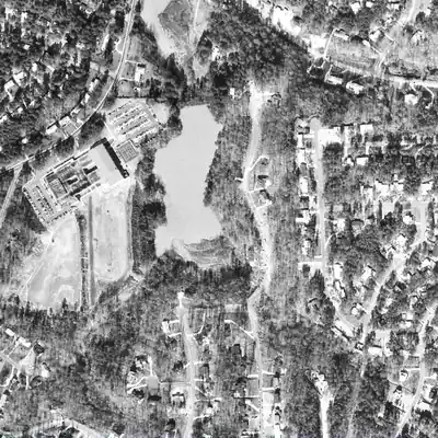
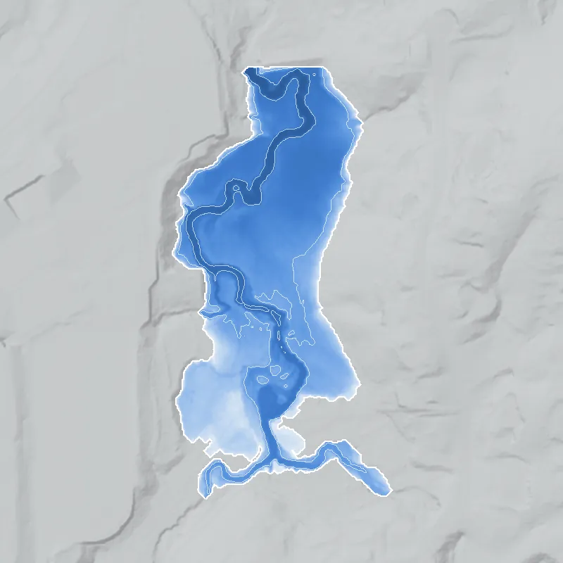
The lake emptied between 1968 and 1972. The old bed is now wooded floodplain between a school and a neighborhood road, with a small stream running through a gap at the dam's west end.
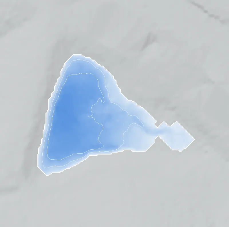
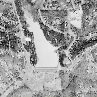
The dam still stands, but a deep notch in its middle drained the reservoir by 1981. Today a shallow pond of about 2 acres sits behind it, beside a wooded, silted valley and homes.
The pond is gone. The old bed is a flat, silted meadow and marsh with a small stream winding across it, and only a tiny puddle at the southeast corner.
The lake was drained between 2001 and 2005 through a cut in the dam. Today the old bed is forest and brush, with a small stream channel, surrounded by townhomes and warehouses.
The dam still stands. The old lakebed is a meadow and marsh with a stream winding across it, and a shallow pond of about 3.5 acres has returned at the west end since 2025.
Since 2021 the lake has stayed at about half its size, a brown to green pool of roughly 4 acres in the north, with bare and marshy ground where the old shoreline was.
Today the open water ends farther south, at the silted arm's edge, and covers about 22 acres. The lake was drained in 2025 for dam work and dredging, then refilled.
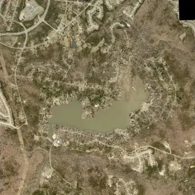
Houses now line the south shore. The west arm, about 150 meters long, has silted up into a wetland. Open water is roughly 9 acres, and the dam still stands.
The main lake still holds full water. The creek inlet at the south end has silted into a wooded delta, so open water now stops well short of the old southern tip.
The old basin is a flat graded area with no trace of the lake. The GA 400 and I-85 ramps cover its east side, and a big-box store lot sits at its north edge.
Zoo Atlanta grounds cover the lakebed, now a flat graded floor with tree canopy, exhibits and paths. The overlook courtyard at the north end was restored in 2024-25.
Glen Emerald Lake was drained to a muddy pool in 2022 and 2023 while its dam was rebuilt with a new concrete spillway and riprap, then refilled by October 2023.
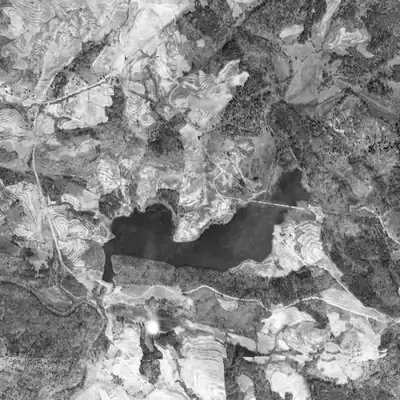
In 1955 part of the lake bed lay bare, with winding channels, just as new subdivision roads were being cut around the shore. The north end has since silted into a delta that shows in dry years.
In October 2023, federal aerial photos caught North Lake drawn down, with a ring of bare mud and equipment tracks on the dam. No record of this was found.
Silver Ridge Lake was already built by 1955, about 25 years before the neighborhood's houses appeared. The 2026 aerial shows it drawn down to roughly 35 to 45 percent of its normal area.
Simpson Lake was full in early 2023 and mostly drained by October 2023. Three years later it is still low, with a pool covering about 40 percent of its old outline.
Aerial photos show no lake in 1940 and two lakes by 1955. In the 2026 aerial the lower lake is drawn down to small pools, with a structure and rubble at its dam.