Lakes
Lake histories
87 lakes and ponds in the City of Atlanta and DeKalb County, each with its sources, what the aerial photos show from 1940 to 2026, and the questions still open.
Each history gathers what the public record says about a lake: who built the dam and when, its names over the years, what happened to it, how to see it today, and the sources. The aerial photos from 1940 to 2026 add what the records miss, like the year a lake went dry. Research is deeper for some lakes than others, and every page lists the questions still open. If you can answer one, please get in touch.
Filled in or lost 9
Gone from the map, though most still show in the old aerial photos.
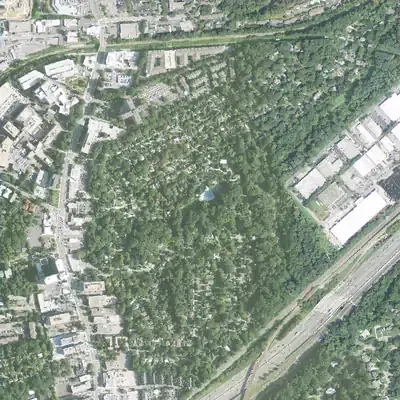 Brookwood Hills spring-fed lakeA spring-fed lake in the middle of the 1920s Brookwood Hills subdivision, run as a paid swimming lake in the early 1930s and later replaced by the community pool.
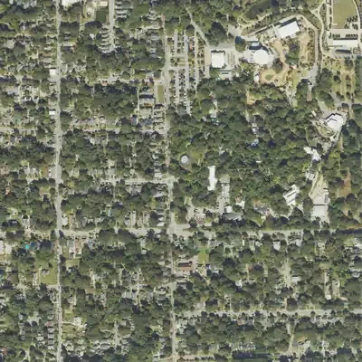 Lake Abana (Grant Park)Grant Park's spring-fed lake, popular from the 1880s and a segregated swimming spot. Closed and filled between 1958 and the 1960s; zoo land and parking took its place.
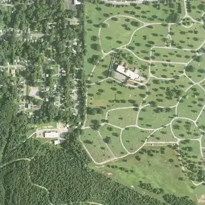 Lake Palmyra (Westview Cemetery)A designed lake completed in 1947 just southwest of Westview Abbey, with a Hosmer 'Zenobia in Chains' statue on one shore, drained in the 1970s.
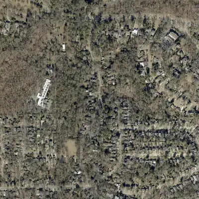 Lake Ponceana (linked to the name 'Lake Claire')A dry artificial lake at Claire and Lakeshore Drives that, by neighborhood accounts, inspired the name Lakeshore Drive and perhaps 'Lake Claire'.
 Mooney's LakeA 1920 summer swimming and canoeing resort off Piedmont Road in Lindbergh, drained and filled in 1957-58 for a shopping center, now near the I-85/GA 400 interchange.
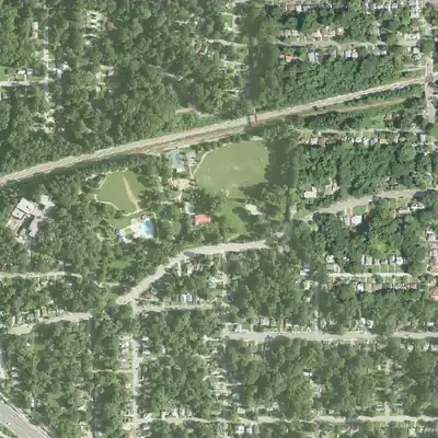 Mozley Park lakesTwo artificial lakes on Dr. Hiram Mozley's estate became a segregated city park's swimming lake, filled in around 1975 for a pool.
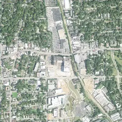 Pairs Pond (Ponce de Leon Springs park)A small pond added in 1890 to Ponce de Leon Springs park beside the 4-acre lake. The sources checked do not say where it lay or how it ended.
 Ponce de Leon LakeA four-acre boating lake built in 1890 at Ponce de Leon Springs, later part of an amusement park, filled in 1907 for the Crackers' ballpark.
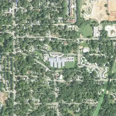 White City amusement park lakeA 1907 amusement park near Grant Park whose rowboat lake replaced a weedy field. Built by Councilman C. L. Chosewood; Parkside Elementary now stands there.
Breached, drained or partly filled 10
The dam failed or was cut, or part of the lake was filled.
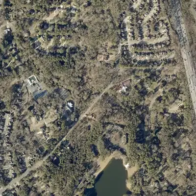 Henderson's mill pondSite of Greenville Henderson's grist mill on Henderson Mill Creek; no pond is mapped today, and a July 1864 Union corps camp is recorded here.
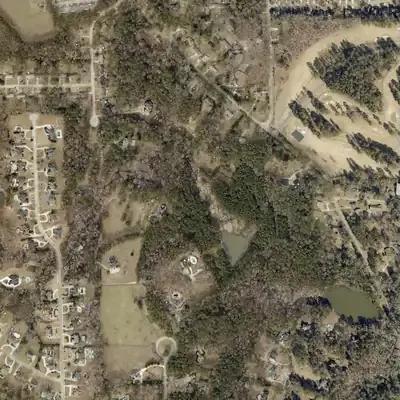 Hunt Valley LakeA roughly 19-acre private lake near Shadow Rock Drive in Redan: absent from the 1956 topo, drawn on a map from 1968 aerial photos.
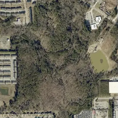 Jabco LakeA private 9-acre recreation lake in southeast DeKalb with a 17-foot earthen dam, also listed as George Lake Dam; little else is documented.
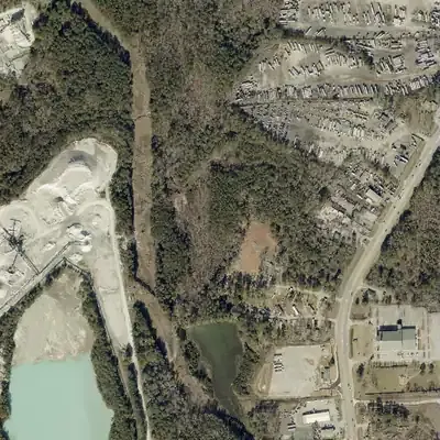 Key LakeA 24-foot earth dam near Rock Chapel in east DeKalb, listed in the NID as privately owned, with Davidson Mineral Properties as designer.
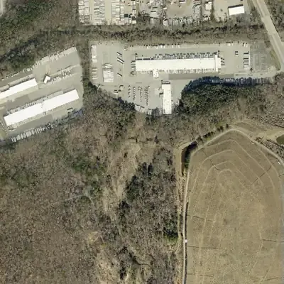 Lake CharlotteEstate lake on a 1928 map. Atlanta bought it in 1977, breached the dam in 1982; it is now marsh in a city preserve.
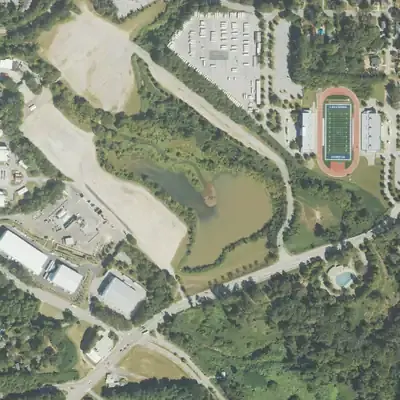 Lakewood Fairgrounds LakeAtlanta's first waterworks reservoir (1875), then resort lake and fair centerpiece, ringed by a speedway; now smaller, on fairgrounds land shared with film studios.
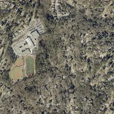 Simmons LakeA small private recreation lake in unincorporated northern DeKalb County, in the North Fork Peachtree Creek watershed. Public records amount to a 1979-era dam listing.
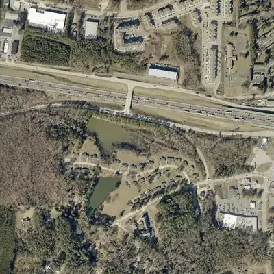 Stewarts LakeA 13-acre recreation impoundment listed in the National Inventory of Dams southwest of Lithonia; its builder, stream and history are not yet documented.
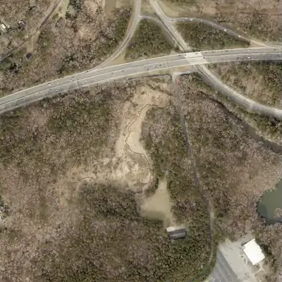 Stone Mountain Park – NorthA 6-acre pond behind a 27-foot earth dam on Stone Mountain Creek at the northern edge of Stone Mountain Park, listed in the federal dam inventory as a 1965 recreation dam.
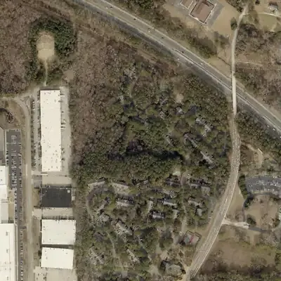 Timber Trace LakeA one-acre lake behind a 40-foot earth dam in the Tucker and Stone Mountain area, dated 1988 in the National Inventory of Dams and owned by a limited partnership.
Drawn down since 2022 11
Lakes the county’s recent aerial photos caught low or empty.
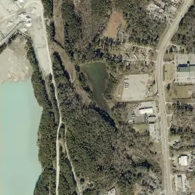 Charles LakeA 7.5-acre private impoundment near Rock Chapel Road in Stonecrest; federal dam records call it Charles Lake, while USGS names list it as Davidson Lake One.
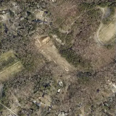 Erin LakeA 12-acre recreation lake in Tucker held by a 34-foot earth dam that state inspectors rated Poor in 2019; OpenStreetMap maps a city rebuild project.
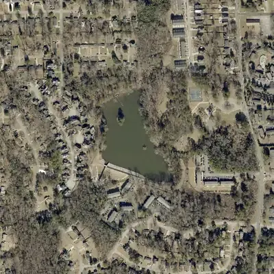 Glen Emerald LakeGlen Emerald Lake was drained to a muddy pool in 2022 and 2023 while its dam was rebuilt with a new concrete spillway and riprap, then refilled by October 2023.
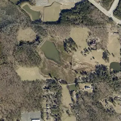 Joels LakeA 23-acre private recreation lake at Klondike in southeast DeKalb County; the federal dam inventory lists an earth dam with a 1956 completion year.
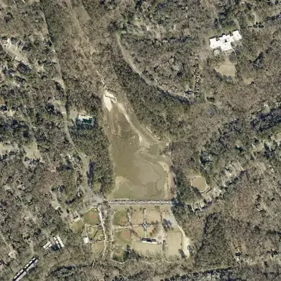 Murphey Candler LakeBrookhaven's park lake was dammed in 1953-54 (one source says 1960), then repaired, dredged and drained several times, most recently in 2025-26.
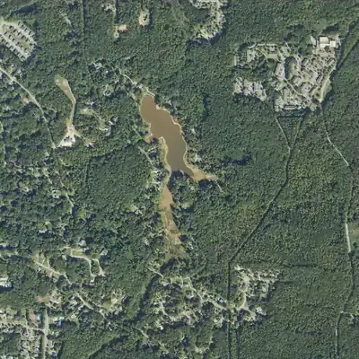 Niskey LakeA 1929 earthen dam in southwest Atlanta holds a private, spring-fed recreation lake; a $7.9 million city contract recently rebuilt its spillway.
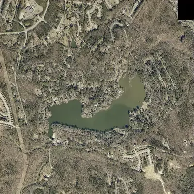 Norris Lake ShoresA private lake of about 107 acres on No Business Creek near the Yellow River, dug out of swampy woods by Clarence Norris and later developed by Al Corkin.
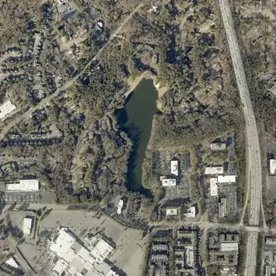 North LakePrivate 22-foot earthen dam and roughly 15-to-18-acre lake; Wikipedia says the Northlake area and its mall are named for it.
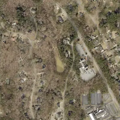 Silver Ridge LakeA 2-acre private lake and 35-foot earth dam in the Silver Ridge subdivision in the Tucker and Stone Mountain area, with no history beyond inventory records.
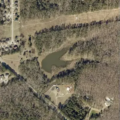 Simpson LakeA privately owned 6-acre recreation lake in south DeKalb County. Public records give only its dam specifications, and no historical account of it turned up.
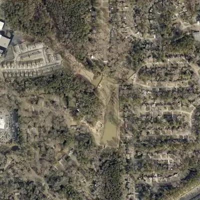 Twin Brothers Lakes (Johns Homestead)Two dammed lakes in Tucker's Johns Homestead Park, beside a house dated to about 1829, once fished for a small fee and now tied to a dam redesign.
Still here 43
Lakes with water in the newest photos.
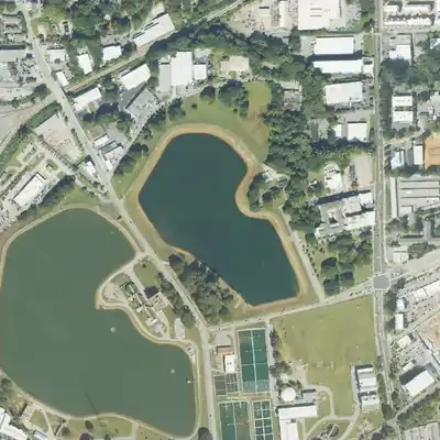 Atlanta Reservoir No. 1 (Hemphill Reservoir No. 1)The smaller of two raw-water basins at Atlanta's Hemphill water works, once open for fishing and picnics, now fenced beside a public hilltop park.
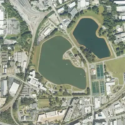 Atlanta Reservoir No. 2 (Hemphill Reservoir No. 2)The larger of Atlanta's two Hemphill raw-water reservoirs, holding Chattahoochee water for the Hemphill treatment plant, behind a fence beside a public hill.
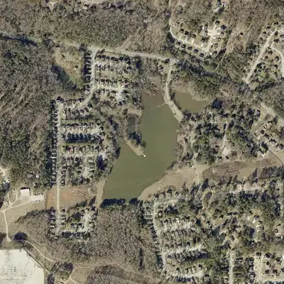 Browns Mill LakeA small private lake on Crooked Creek near Lithonia, with a 1975 dam date from the federal dam inventory and no documented builder.
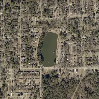 Buena Vista LakeAn 8-acre county-owned lake inside Barker Bryant Memorial Park in Candler-McAfee, held by a 29-foot earth dam rated high hazard and satisfactory.
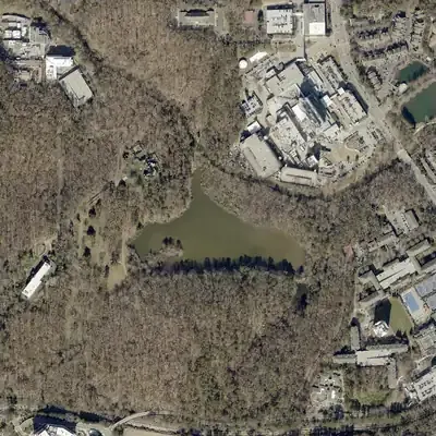 Candler LakeWalter Candler's estate lake in Emory's Lullwater Preserve, reshaped in 1952 by Emory's account and dredged again in the mid-1980s.
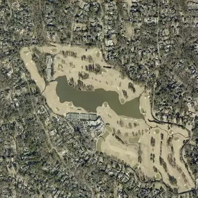 Capital City Country Club Lake (Brookhaven Country Club Lake)Private golf-course lake at the Capital City Club's Brookhaven course, in a neighborhood the club's marker calls Georgia's first planned golf club community.
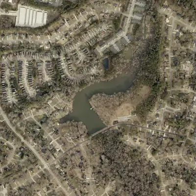 Chapel Hill Park LakeA 10-acre pond in DeKalb County's Chapel Hill Park on LeHigh Blvd, behind a 40-foot earth dam that federal records date to 1969; county youth fishing events used it in 2022-23.
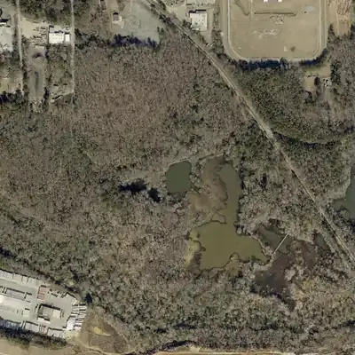 Constitution Lakes (South River Brick Co. pits)Flooded clay pits from an 1890s brickworks on the South River, now a DeKalb County wetland park with a boardwalk and the Doll's Head Trail.
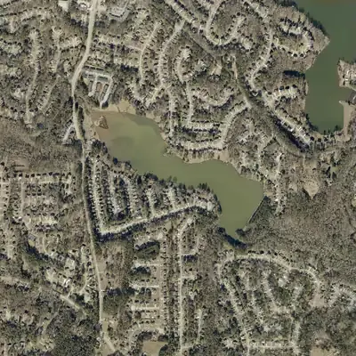 Crooked Creek LakeAn earthen dam on Crooked Creek near Rockbridge Road that the National Inventory of Dams dates to 1987 and rated Poor, high hazard, in January 2021.
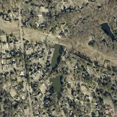 Dunwoody Club Crossing LakeA 2-acre lake in a Dunwoody residential area whose dam is high-hazard, rated Poor in a June 2026 NID update, and shared among several owners including an HOA.
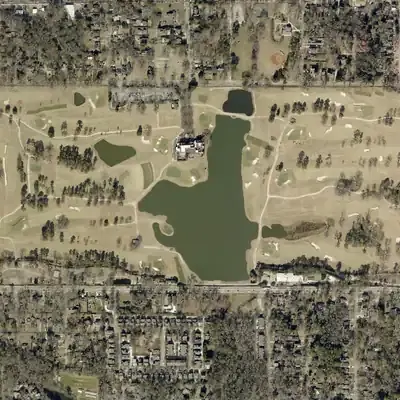 East Lake Country ClubAn 1890s trolley-suburb amusement lake with a steamboat, bought by the Atlanta Athletic Club in 1904 and now on the East Lake Golf Club course.
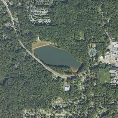 East Point ReservoirA 41-foot earth dam on a roughly 17-acre water-supply reservoir in southwest Atlanta; federal data lists a local-government owner and a 1965 completion year.
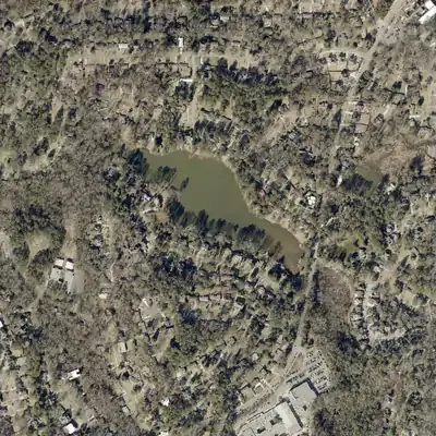 Echo LakeA 14-acre lake beside Briarcliff Road, dated to 1938, held by the Echo Lake homeowners association and repeatedly dredged to fight silt.
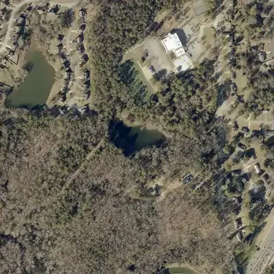 Exchange Park Lake (Upper)A 2-acre, 26-foot earth dam at DeKalb County's Exchange Park in Panthersville; the History Center's park folder runs 1961-1989, but the lake's origin is unrecorded.
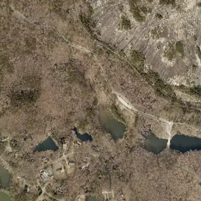 Howell LakeA 10-acre lake behind a 22-foot earth dam in Stone Mountain Park, listed in federal dam records as owned by the Stone Mountain Memorial Association.
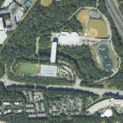 Ibm LakeA 4-acre private recreation lake with a 47-foot earthen dam in the Vinings area. The state last inspected it in 2017; the name's origin is undocumented.
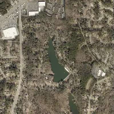 Kenilworth LakeA 40-foot earthen dam in DeKalb County near Stone Mountain, dated 1953 in the federal dam inventory, with public and homeowner-association owners.
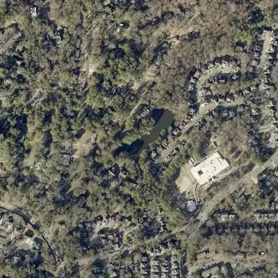 Kings Cliff LakeA 3-acre lake behind a 28-foot earthen dam beside Henderson Mill school; the state rates the dam high hazard and 'Poor' as of 2021.
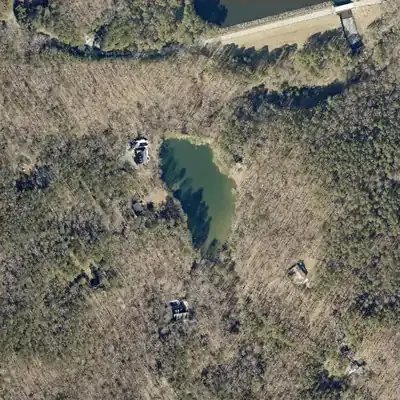 Kristina LakeA 4-acre private lake behind a 30-foot earth dam just outside the southern edge of Stone Mountain Park, known mainly from dam-safety records.
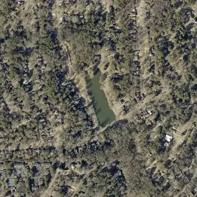 Lake AvondaleAvondale Estates' centerpiece lake, built by developer George F. Willis by January 1926 and deeded to the city in 1928; dam repairs planned for 2026.
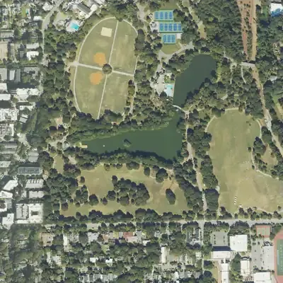 Lake Clara Meer (Piedmont Park)Piedmont Park's spring-fed lake, begun as a small pond in 1887 and enlarged to about 11.5 acres for the 1895 Cotton States Exposition. Swimming reportedly ended in 1973.
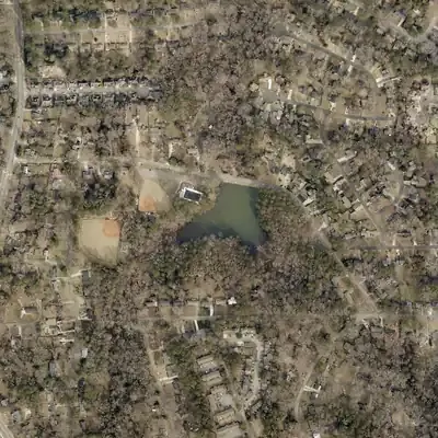 Lake Cofer (Kelley Cofer Park)A small lake in Kelley Cofer Park, Tucker, held back at its north end by the raised roadbed of North Park Drive; builder and date are not documented.
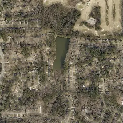 Lake IvanhoeA private 11-acre lake on Lucky Shoals Creek near Tucker, already on the 1956 USGS map and now run by the Lake Ivanhoe Community Club, founded 1962.
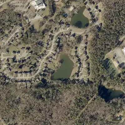 Mathis Lake (Lower)A 37-foot earth dam in the Renaissance Lakes subdivision in Panthersville, listed as 1949, possibly named for the Mathis Dairy family a short walk north.
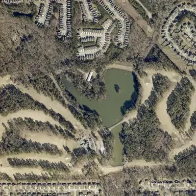 Mystery Valley LakeRecreation lake with a 24-foot earth dam, locally government-owned, rated High hazard and Poor condition in its January 2021 state inspection.
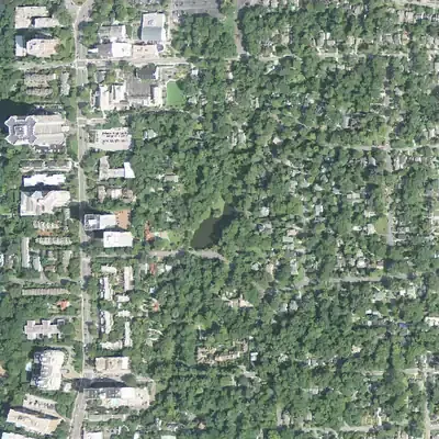 Peachtree Heights East Duck PondA two-acre pond added by neighborhood residents in 1922, held in trust for residents since 1932-33 and still maintained by them.
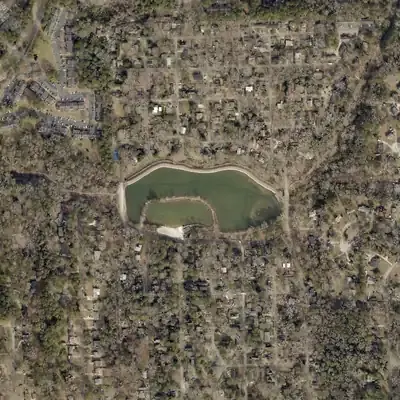 Pine LakeA small lake at the center of the City of Pine Lake, DeKalb County, a weekend-lot development that incorporated in December 1937 on Snapfinger Creek.
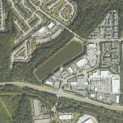 Princeton LakeA 15-acre private recreation lake in southwest Fulton County, listed in the dam inventory as Princeton Lake and formerly Bales Lake, with a long earthen dam.
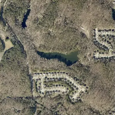 Ramsden LakeA small private recreation lake with a 23-foot earthen dam just east of Stone Mountain Park; the public record found so far is only federal and county data.
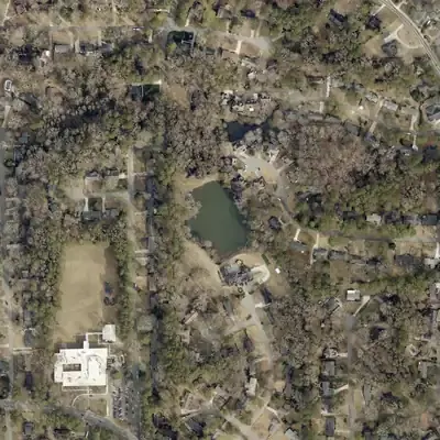 Robert Nash LakeA 2-acre privately owned pond in Tucker with a 29-foot earthen dam; NID dates it to 1952 and Georgia rates it Category II, low hazard.
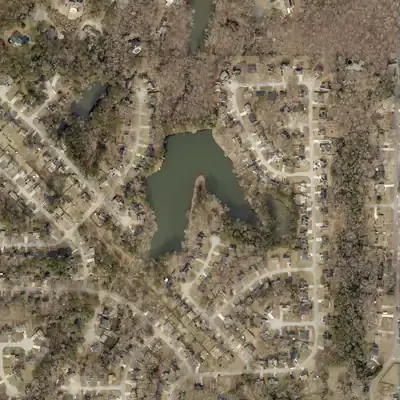 Rockbridge LakeA 7-acre private recreation lake on a 27-foot earthen dam near Stone Mountain, listed in the National Inventory of Dams as high hazard and in poor condition as of June 2026.
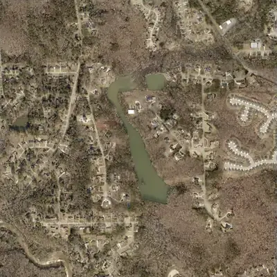 Sandy LakeA privately owned 21-acre recreation lake in DeKalb County, also listed as Kelly Lake, with a 24-foot dam that the federal inventory dates to 1963.
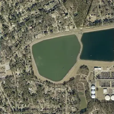 Scott Candler Reservoir #1Raw-water storage reservoir for DeKalb County's Scott Candler water plant off Winters Chapel Road, held by a 55-foot earth dam and filled from the Chattahoochee.
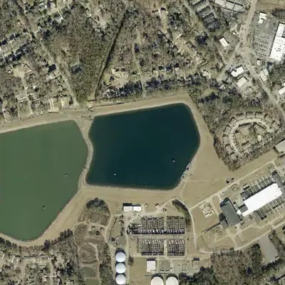 Scott Candler Reservoir #2Second raw-water storage basin at DeKalb's Scott Candler plant: a 59-foot high-hazard dam holding about 839 acre-feet, beside Reservoir #1.
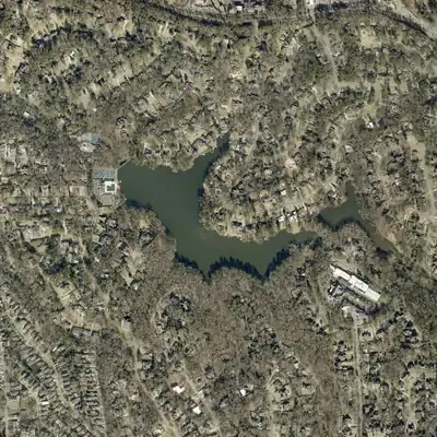 Silver LakeA 1911 developer's lake near Oglethorpe University, acquired with Hearst money, drained in 1978 as a dam hazard, and rebuilt in the 1980s by neighbors.
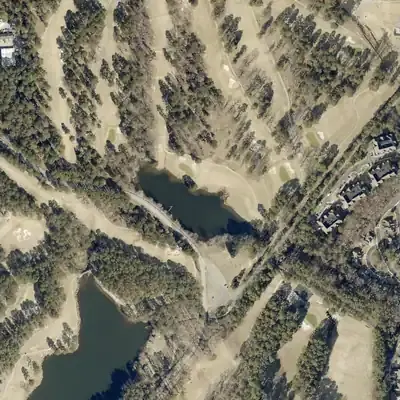 Stn Mtn Pk Golf Course LakeA 4-acre pond behind a 26-foot earth dam on the Stone Mountain Golf Club grounds, with no known stream, builder or completion year.
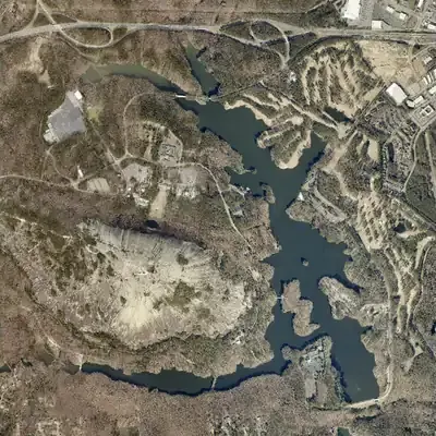 Stone Mountain LakeA 60-foot earth dam on Stone Mountain Creek made this park lake in the early 1960s, drowning part of old Highway 78 beside the granite mountain.
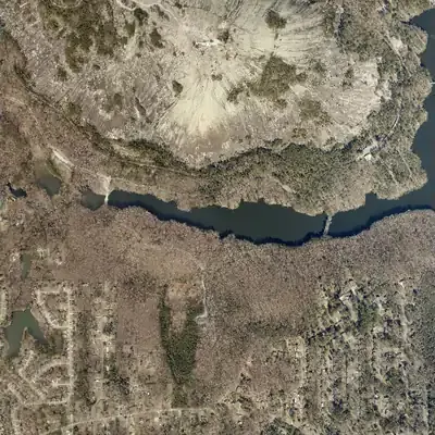 Stone Mountain Park Dam-South (Venable Lake)A 16-foot earthen recreation dam on Stone Mountain Creek inside Stone Mountain Park, listed in the National Inventory of Dams as 'Dam-South' and in USGS names as Venable Lake.
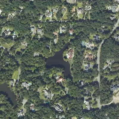 Sturm and Early PondA 5-acre private recreation pond with a 22-foot earthen dam in Atlanta's Fulton County. The NID gives 1956, but no history was found.
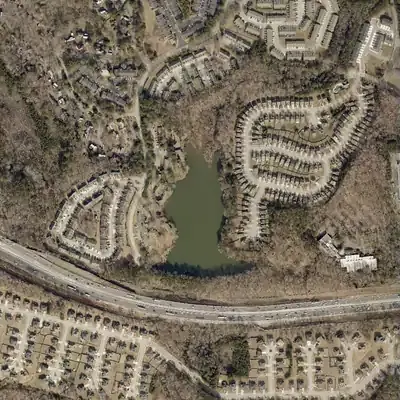 Walden LakeAn 11-acre private recreation lake behind a 25-foot earth dam near Snapfinger in DeKalb County; the National Inventory of Dams gives 1975 as the completion year.
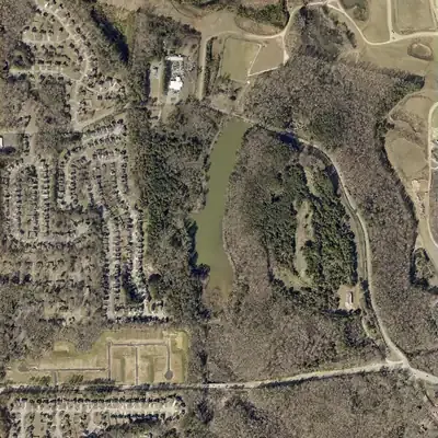 Ward LakeAn 18-acre, locally owned recreation dam near Snapfinger in DeKalb County, listed since about 1950. Only dam-safety and map records were found; no narrative history.
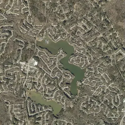 Water's Edge LakePrivate 117-acre HOA lake off Rockbridge Road; SEC filings place the dam before September 1987, and the EPA later faulted it.
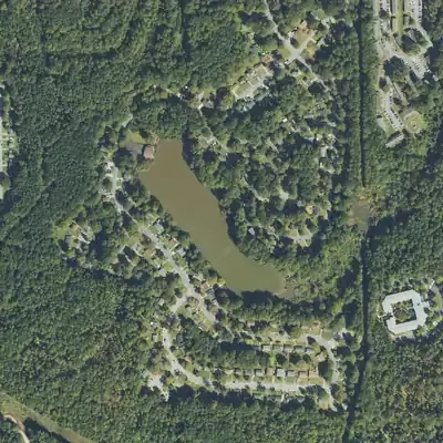 Wildwood LakeTen-acre private lake in southwest Atlanta, already on the 1954 topographic map among woods and dirt roads; houses lined its shore by 1982.
Status unclear 14
The records and photos don’t settle what happened.
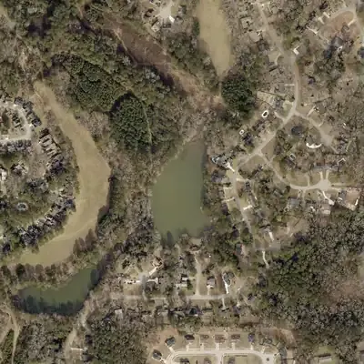 Clearlake CourtA small privately held earthen recreation dam on Snapfinger Creek in DeKalb, recorded in the federal dam inventory as Clearlake Court, with no known lake history.
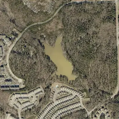 Forest LakeA privately owned, 14-acre recreation impoundment in DeKalb County, listed in the National Inventory of Dams as Forest Lake Dam, also 'Hutchins Lake'; no published history found.
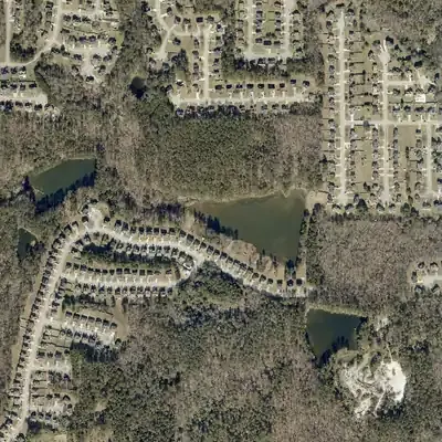 Harbin LakeA privately owned 14-acre recreation impoundment on Johnson Creek east of Lithonia, listed in the National Inventory of Dams as Harbin Lake, also called Johnson Lake.
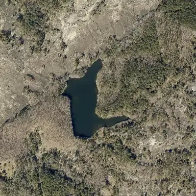 Houseworth LakeA 14.5-acre lake behind a 21-foot dam in the Stonecrest area, listed in the National Inventory of Dams as owned by DeKalb County. Little else is documented in sources reached.
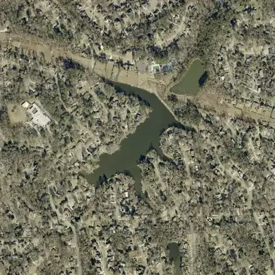 Kingsley LakeA 16-acre private recreation lake with a 20-foot dam in the National Inventory of Dams; no other public record was found.
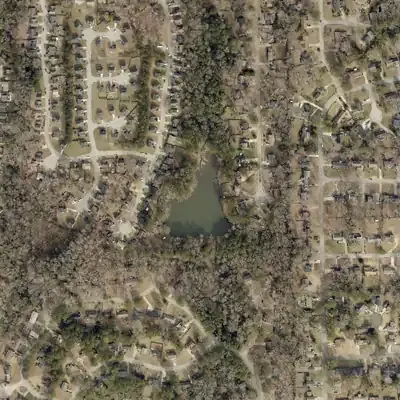 Lower Crystal LakeA privately owned earthen recreation dam on Snapfinger Creek in DeKalb, listed in the federal dam inventory as Lower Crystal Lake, also called Lake To-Lani.
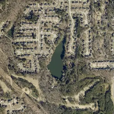 McDaniel LakeA 7-acre private recreation lake near Redan in DeKalb County, held by a 31-foot earth dam that NID dates to 1947 and formerly lists as Rice Lake.
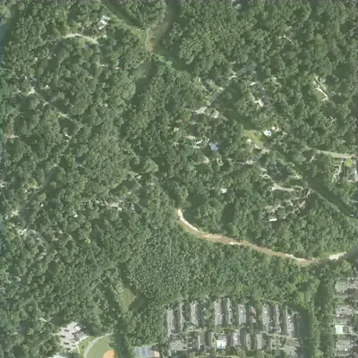 Moore's Mill and millpondA mid-1800s sawmill and gristmill dam on Peachtree Creek whose pond Union pickets drained by wrecking the flume on July 19, 1864.
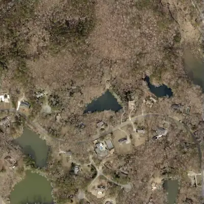 O'Neal LakeA small privately owned earthen recreation dam near Stone Mountain, listed in the federal dam inventory as O'Neal Lake, also called Lake Howell, with no completion year.
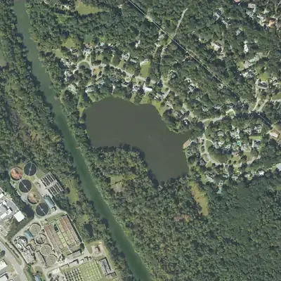 Rivermeade LakeNID lists a private, 11-foot recreation dam holding a 17.5-acre lake in Fulton County. No builder, date or history has been confirmed.
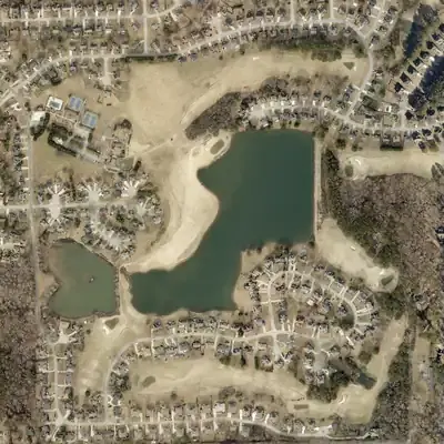 Southland LakeA 20-acre private recreation lake in DeKalb County with a 43-foot earth dam, listed in the state dam inventory as high hazard and in poor condition.
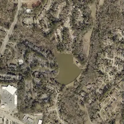 Sterling LakeA privately owned earthen recreation dam in DeKalb County, listed in the federal dam inventory as Sterling Lake, also called Chapel Hill Lake, with sparse records.
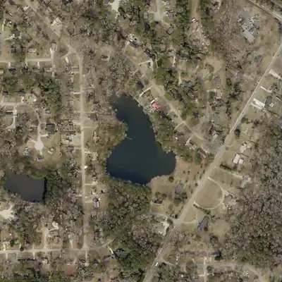 Stoneleigh LakeA small privately owned recreation lake near Lithonia, DeKalb County, with a 27-foot earth dam listed in the National Inventory of Dams; its history has not been found.
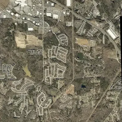 Turner Hill LakeA 31-foot dam near Honey Creek with no normal pool, recorded as flood-risk reduction, rated High hazard and owned by a private LLC.