Still here · DeKalb County · Dam inventory GA01316
Sandy Lake
A privately owned 21-acre recreation lake in DeKalb County, also listed as Kelly Lake, with a 24-foot dam that the federal inventory dates to 1963.
From the air
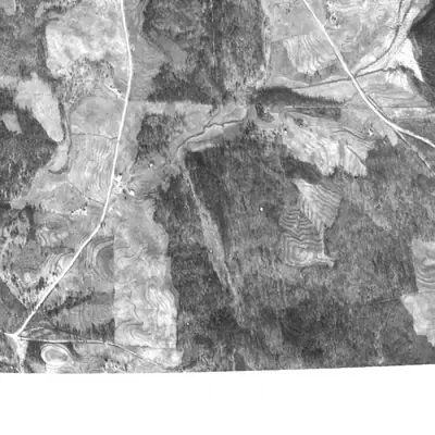
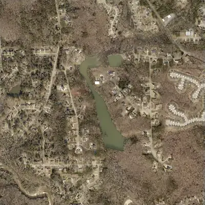
Sandy Lake was a wooded gully with a creek in 1940 and 1955. It first shows up full in 1968 and has never looked low since.
- First seen
- The lake first appears in the 1968 aerial photo, already full to its present outline.
- Dam in the lidar
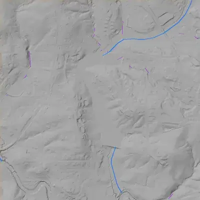
- The county's 2024 lidar shows a straight earth dam across the south end. Its crest is level at about 712 feet, roughly 3 feet above the lake. Height ranges from about 14 to 26 feet. A small dip near the east-center may be a spillway (inferred from elevation only). No breach.
Read from aerial photos taken between 1940 and 2026 and from DeKalb County 2024 lidar, then checked by a second reading. How the photos were read.
Depth
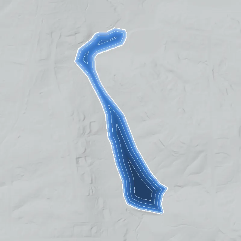
Modeled from the shoreline shape and the dam inventory’s average depth: deepest point about 21 ft. Treat it as an estimate; no survey of the lake bottom was found. How depth is estimated.
History
The National Inventory of Dams lists Sandy Lake (alternate name Kelly Lake) as a private recreation dam in DeKalb County. The dam is 24 feet high and the lake covers about 21 acres, holding about 209 acre-feet at normal pool. The inventory gives 1963 as the completion year, records no stream name, rates the hazard as Low, and lists the condition as Not Rated. No builder, subdivision, club or event record has been found, so the lake's history is still unwritten. 1
Who built it
Not established. NID lists the primary use as recreation and the owner type as private, and gives 1963 as the completion year. The impounded stream is recorded as Unknown. NID completion years are often estimates, so 1963 needs confirmation against 1960s topo maps and aerials. 1
Timeline
- 1963NID gives 1963 as the year the dam was completed. This is an inventory field and may be an estimate; no construction record has been found. Uncertain 1
Names
- Kelly Lake
- Alternate name recorded in the National Inventory of Dams entry for GA01316. The record does not say who Kelly was or when the name was used. 1
The dam
NID gives a dam height of 24 ft, surface area of 21 acres, normal storage of 209 acre-ft, a Low hazard classification and a condition of Not Rated. No spillway, rebuild, inspection or contract records have been found. 1
- Year in the inventory
- 1963
- Dam height
- 24 ft
- Surface
- 21 acres
- Average depth
- about 10 ft
- Owner type
- Private
Figures from the U.S. Army Corps of Engineers’ National Inventory of Dams. Its “year” is often a rebuild or survey date, and average depth is storage divided by area.
Visiting
Getting there
NID lists the owner type as private. No public park, HOA or club page has been found, so treat the lake as private unless a source shows otherwise. Ownership and access were not confirmed.
What you can see
Not established. A dam and a 21-acre pool should show on current satellite imagery and county GIS, but no public-viewing information has been found.
Look, don’t dig. Parks, cemeteries and preserves are off limits to digging and collecting, and private land needs the owner’s permission to enter.
Open questions
- Who built the dam and lake in or near 1963, and for what purpose (private estate, club, fishing or subdivision amenity)?
- Which stream does it impound? NID lists the stream as Unknown.
- Who was Kelly, and did Kelly Lake come before or after Sandy Lake?
- Does the lake appear on 1930s-40s aerial photography as a smaller pond, or is 1963 the true date?
- Is the lake tied to a nearby subdivision or club, and has it ever had a public, segregated or integrated recreation history?
- Has the dam had state Safe Dams inspections or rebuilds, given the Not Rated condition?
Know something? Write to hello@historyunderfoot.org. Family papers, photos and deeds often settle these.
Where to look next
- National Inventory of Dams record GA01316, to read the full field set (owner, inspection dates, spillway, drainage area, EAP) (USACE National Inventory of Dams web viewer)
- Georgia EPD Safe Dams Program file for this dam, including any inspection reports and permit history (Georgia Environmental Protection Division, Safe Dams Program)
- Historic aerials of this location, if covered: UGA Libraries' 1930s-40s DeKalb County aerial photography and later USGS aerials, to see when the pool appears (UGA Libraries Map and Government Information Library)
- USGS topographic quadrangle editions covering the coordinates (1950s, 1960s, 1970s), to see when the lake first shows and under which name (USGS Historical Topographic Map Collection (topoView))
- DeKalb County parcel and plat records for the lake parcel, to identify the subdivision or tract and the recorded plat (DeKalb County Clerk of Superior Court, plat records)
- Georgia Historic Newspapers search for 'Sandy Lake' and 'Kelly Lake' with DeKalb context, 1950s-1970s (Digital Library of Georgia, Georgia Historic Newspapers)
Sources
- National Inventory of Dams, record GA01316 (Sandy Lake / Kelly Lake); values as carried in the project's NID-derived unit file U.S. Army Corps of Engineers, National Inventory of Dams