Status unknown · Fulton County · Dam inventory GA03824
Rivermeade Lake
NID lists a private, 11-foot recreation dam holding a 17.5-acre lake in Fulton County. No builder, date or history has been confirmed.
From the air
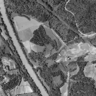
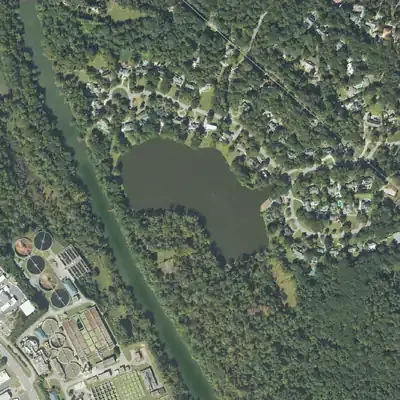
Rivermeade Lake was not there in 1955. By 1968 it appears newly dug beside the Chattahoochee, ringed by raw spoil, and its shoreline has not moved since.
- First seen
- Not in the 1955 aerial; first seen in 1968, apparently newly built, so it was made between 1955 and 1968.
- Dam in the lidar
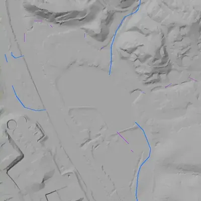
- A narrow dike runs along the south and southeast shores. It is about 10 feet high at the southeast corner and 5 to 6 feet along the south shore, with a crest near 764 feet above sea level. No breach was found. The outlet is a shallow swale just east of that corner.
Read from aerial photos taken between 1940 and 2026 and from USGS 3DEP lidar, then checked by a second reading. How the photos were read.
Depth
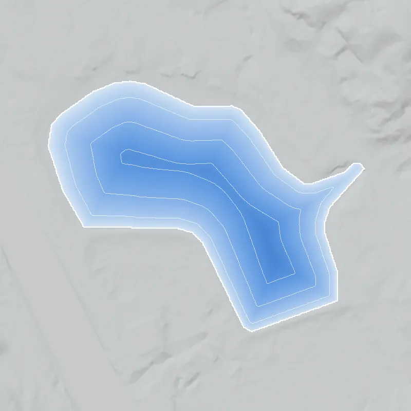
Modeled from the shoreline shape and the dam inventory’s average depth: deepest point about 7 ft. Treat it as an estimate; no survey of the lake bottom was found. How depth is estimated.
History
The only confirmed facts come from the National Inventory of Dams record for GA03824, Rivermeade Lake, a privately owned recreation dam in Fulton County. It is 11 feet high and impounds about 17.5 surface acres and 61 acre-feet of normal storage. NID rates its hazard as Low and its condition as Not Rated, and it lists no stream and no completion year. Its builder, origin and history have not been established from any independent source. 1
Who built it
Not established. NID lists the stream as 'Unknown' and gives no completion year; primary use is Recreation and ownership is private. Who built the dam, when, and why has not been documented. 1
The dam
Per NID: 11.0 ft high, 17.5 surface acres, 61 acre-feet normal storage, private owner, primary use Recreation, hazard Low, condition Not Rated. The record shows no rebuild, spillway detail, contract number or Georgia Safe Dams classification. 1
- Dam height
- 11 ft
- Surface
- 17.5 acres
- Average depth
- about 3.5 ft
- Owner type
- Private
Figures from the U.S. Army Corps of Engineers’ National Inventory of Dams. Its “year” is often a rebuild or survey date, and average depth is storage divided by area.
Visiting
Getting there
Not confirmed. NID lists private ownership, which suggests no general public access, but the record does not say whether the owner is an HOA, a club or an individual. Do not assume access.
What you can see
Not confirmed. Any view of the dam or spillway would need to be checked against Fulton County GIS and public street-level imagery; stay off private property.
Look, don’t dig. Parks, cemeteries and preserves are off limits to digging and collecting, and private land needs the owner’s permission to enter.
Open questions
- Who built the dam and lake, when, and for what purpose?
- Which stream does it impound? NID says 'Unknown'.
- Is the lake tied to the Rivermeade subdivision, and who owns it now (HOA, club or other)?
- Was it ever a swim or boating club, and were there any segregation-era policies for its use?
- Does Georgia EPD Safe Dams have a permit or classification file, and has the dam been rebuilt or drawn down?
- Do the 1949 Atlanta aerials or early USGS topo editions show the lake, and if so when does it first appear?
Know something? Write to hello@historyunderfoot.org. Family papers, photos and deeds often settle these.
Where to look next
- Georgia EPD Safe Dams Program inventory and permit file for the dam (permitting, inspections, hazard class) (Georgia Environmental Protection Division, Safe Dams Program)
- 1949 Atlanta historic aerial photographs, to date the lake's first appearance (Georgia State University Library, Aerial Atlanta collection)
- USGS historic topographic map editions covering 33.834, -84.455 for the earliest lake depiction (USGS TopoView)
- Subdivision plats and deeds for the Rivermeade area and the lake parcel (Fulton County Superior Court Clerk deed and plat records; Digital Library of Georgia)
- Georgia Historic Newspapers searches on 'Rivermeade' for club, development or dam news (Digital Library of Georgia, Georgia Historic Newspapers)
Sources
- National Inventory of Dams record GA03824 (Rivermeade Lake), as extracted in the project's lake_units.json U.S. Army Corps of Engineers, National Inventory of Dams