Status unknown · DeKalb County · Dam inventory GA01788
Kingsley Lake
A 16-acre private recreation lake with a 20-foot dam in the National Inventory of Dams; no other public record was found.

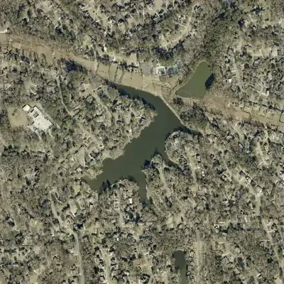
From the air
Kingsley Lake was farm country in 1940 and open woods in 1955. By 1968 it was a full lake with houses on two shores, and its outline has not changed since.
- First seen
- The lake is missing from the 1955 aerial and full in 1968, so it was built between those years.
- Dam in the lidar
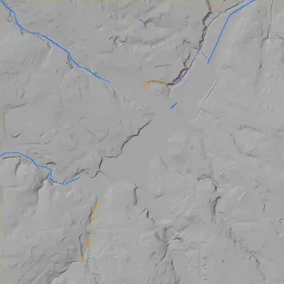
- A straight earth dam along the northeast shore, about 19 feet tall at its highest point where it crosses the old stream channel. The top is a grassy path about 958 feet above sea level, less than a foot above the lake. No breach or spillway is visible. The outlet is probably a pipe under the dam.
Read from aerial photos taken between 1940 and 2026 and from DeKalb County 2024 lidar, then checked by a second reading. How the photos were read.
Depth
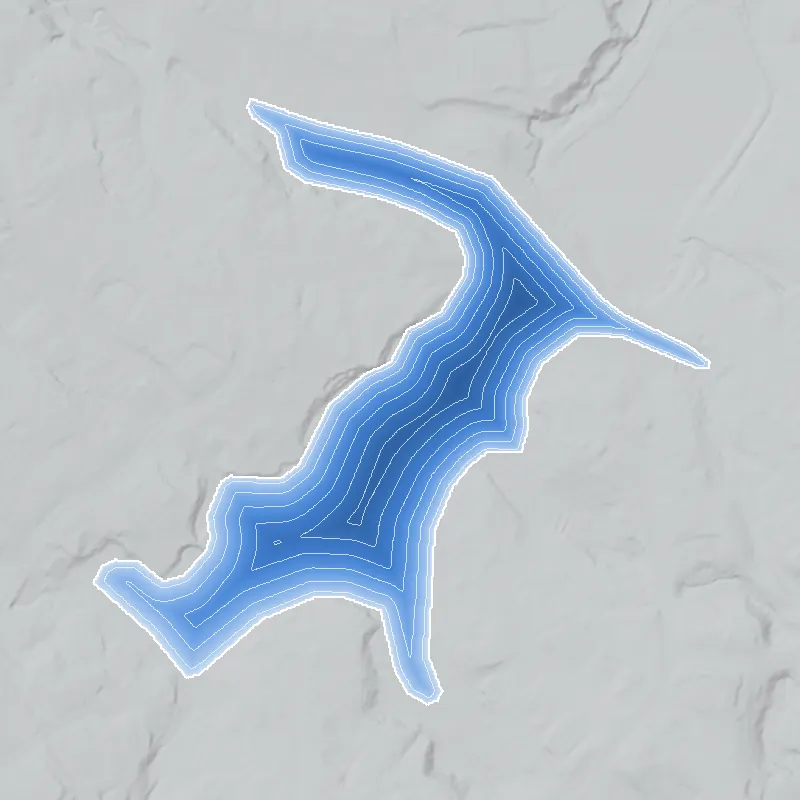
Modeled from the shoreline shape and the dam inventory’s average depth: deepest point about 14 ft. Treat it as an estimate; no survey of the lake bottom was found. How depth is estimated.
History
The National Inventory of Dams lists Kingsley Lake (GA01788) in DeKalb County at 33.94847, -84.29111: privately owned, recreation use, 20-foot dam, 16 surface acres, low hazard, condition not rated, impounded stream unknown, completed 1960. The 1960 date is an inventory entry and may be an estimate. Nothing was found on who built it, where its name comes from, or which subdivision it serves. The record is thin, which may reflect limited searching rather than a true absence of records. 1
Who built it
Not found. The NID gives primary use as Recreation, year completed as 1960, owner type Private, and impounded stream as Unknown. No builder, source stream or purpose beyond recreation was documented. The 1960 date is unverified. 1
Timeline
- 1960 (per NID)National Inventory of Dams lists the dam as completed in 1960. NID year-completed values are often estimates, so this is unverified. Uncertain 1
The dam
NID: dam height 20 ft, surface area 16 acres, normal storage not reported, hazard potential Low, condition assessment Not Rated. No rebuilds, spillway details, Safe Dams classification history or contract numbers were found. 1
- Year in the inventory
- 1960
- Dam height
- 20 ft
- Surface
- 16 acres
- Owner type
- Private
Figures from the U.S. Army Corps of Engineers’ National Inventory of Dams. Its “year” is often a rebuild or survey date, and average depth is storage divided by area.
Around the lake
Water
The NID also lists DeKalb County's Scott Candler Reservoir #1 (GA01311) about 1.8 km to the southeast. No source ties Kingsley Lake to that system or to a named stream.
Visiting
Getting there
Unknown. The NID lists the owner type as private; no source says whether it is held by an HOA, a club or an individual, or whether any public viewing point exists.
What you can see
Unverified. Nothing was found on public viewing. Treat it as private property; look only from public roads and do not enter.
Look, don’t dig. Parks, cemeteries and preserves are off limits to digging and collecting, and private land needs the owner’s permission to enter.
Open questions
- Who built the dam, when, and why? Is 1960 the real date?
- Which stream does it impound (NID says Unknown)?
- Is the lake tied to a Kingsley subdivision or club, and who owns it now?
- Did it serve a swim club or any segregated-era use? No evidence either way.
- Has the dam had Georgia EPD Safe Dams inspections, classification changes or repairs?
- Does the 1960 NID date match what the 1938-40 aerials, 1949 aerials or USGS topos show?
Know something? Write to hello@historyunderfoot.org. Family papers, photos and deeds often settle these.
Where to look next
- UGA 1938-40 DeKalb aerial photography, to check whether a pond or mill site existed before a c.1960 dam (UGA Map and Government Information Library, Georgia aerial imagery collection)
- Later aerials and USGS topographic quadrangle editions covering north DeKalb (1950s-1970s) to bracket construction date (USGS Historical Topographic Map Explorer)
- Subdivision plat records for any Kingsley subdivision and lake lot (DeKalb County Superior Court Clerk, plat books)
- Newspaper mentions of Kingsley Lake or a Kingsley subdivision from the 1950s-60s (Georgia Historic Newspapers (Digital Library of Georgia))
- Safe Dams permit and inspection file, to confirm ownership and dam status (Georgia EPD Safe Dams Program)
- Neighborhood history for the north DeKalb area around the coordinates (DeKalb History Center archives)